The research seminar Re-Mapping Borderlands Between Critical & Operative Approaches offered a deep dive into the multifaceted world of border area mapping and representation. It combined theoretical perspectives from critical cartography with operative approaches that blended descriptive, interpretative, and imaginative dimensions.
Through diverse contributions from international guests spanning various disciplines, the seminar unpacked the complex dynamics of border territories. It fostered a rich, shared reflection on the powerful potential of cartographic representations, exploring them not just as acts of resistance and imagination, but also as vital tools for conveying technical knowledge and driving concrete action.
Read the story and dive into the seminar’s visual dialogue, weaving together mapping and cartographic imaginaries and practices. You can also download a copy of the Re-Mapping Borderlands Postcards booklet to discover more.
Cite as:
Buoli, Alice, Traeger, Isabella & Valentina Rodani, Eds. (2025). Re-Mapping Borderlands Between Critical & Operative Approaches: Postcards Booklet. Milan: CRAFT & DAStU, Politecnico di Milano; “Italian Borderscapes After 2020” team.
Unveiling New Cartographies: Re-Mapping for a Better Future
After a warm welcome from Valeria Fedeli, Coordinator of DAStU-Politecnico di Milano’s CRAFT (Competence Center on Anti-Fragile Territories), and Alice Buoli, on behalf of the curatorial team, we kicked off the morning session opening the stage to a thought-provoking lecture.
The lecture by Henk van Houtum, Professor of Political Geography and Geopolitics at Radboud University Nijmegen, introduced his new book, Free the Map. From Atlas to Hermes: a New Cartography of Borders and Migration (nai010 Publishers 2024). This pivotal presentation explored how maps (and map-makers) can be liberated from the narrowed story of the nation-state and its cartographic reason, offering fresh and insightful perspectives on alternative cartographic representations of borders and migration.
Following the lecture, a vibrant dialogue engaged the invited discussants Aubrey Toldi, Researcher & Adjunct Professor at DAStU, Salome Katamadze, PhD candidate in Urban Planning Design and Policy at DAStU, and Luigi Farrauto, founder of Studio 100km. Their diverse insights enriched the understanding of van Houtum’s pioneering work.
Re-Mapping Borderlands: Insights from Italian Borderscapes After 2020
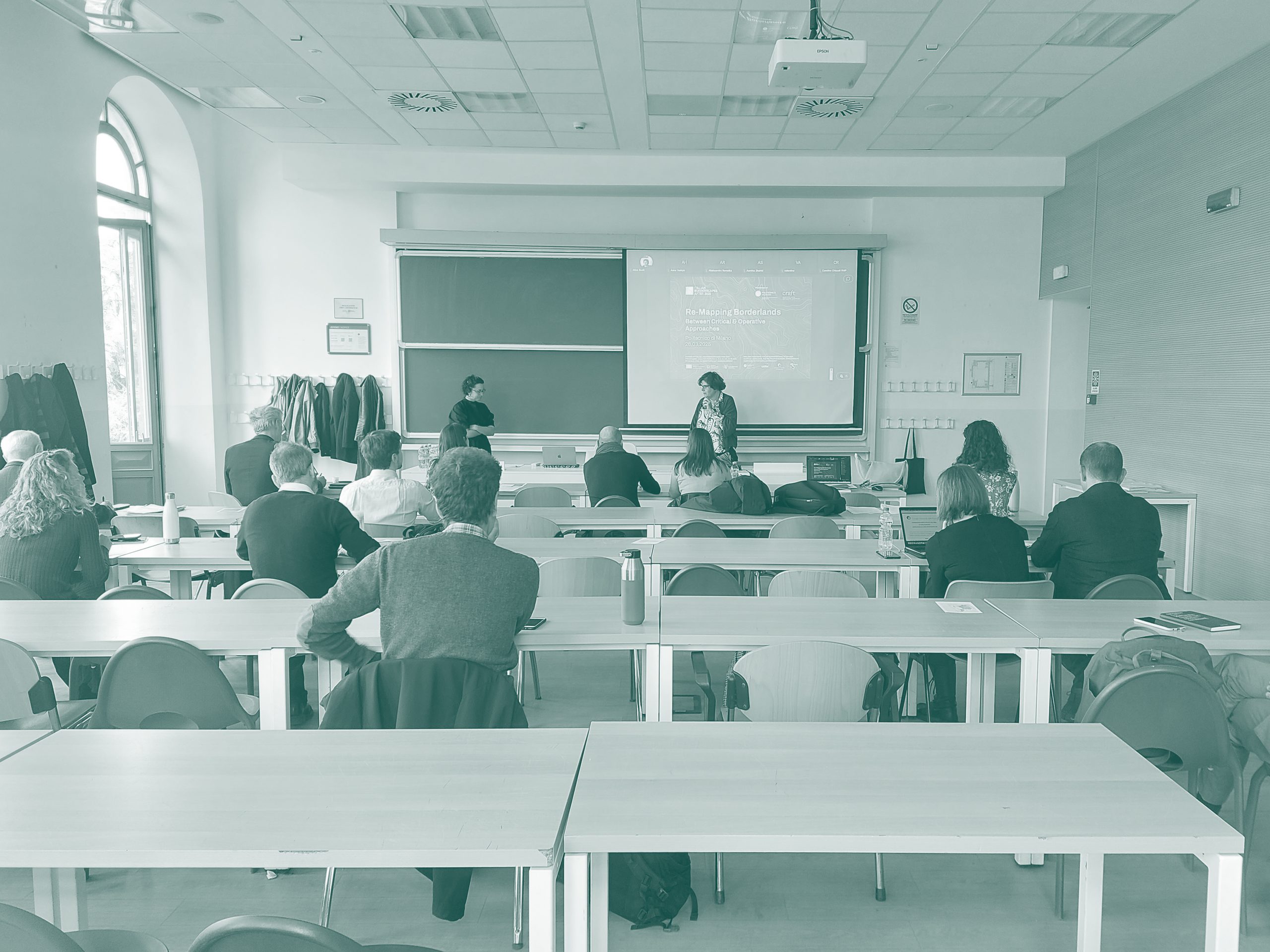
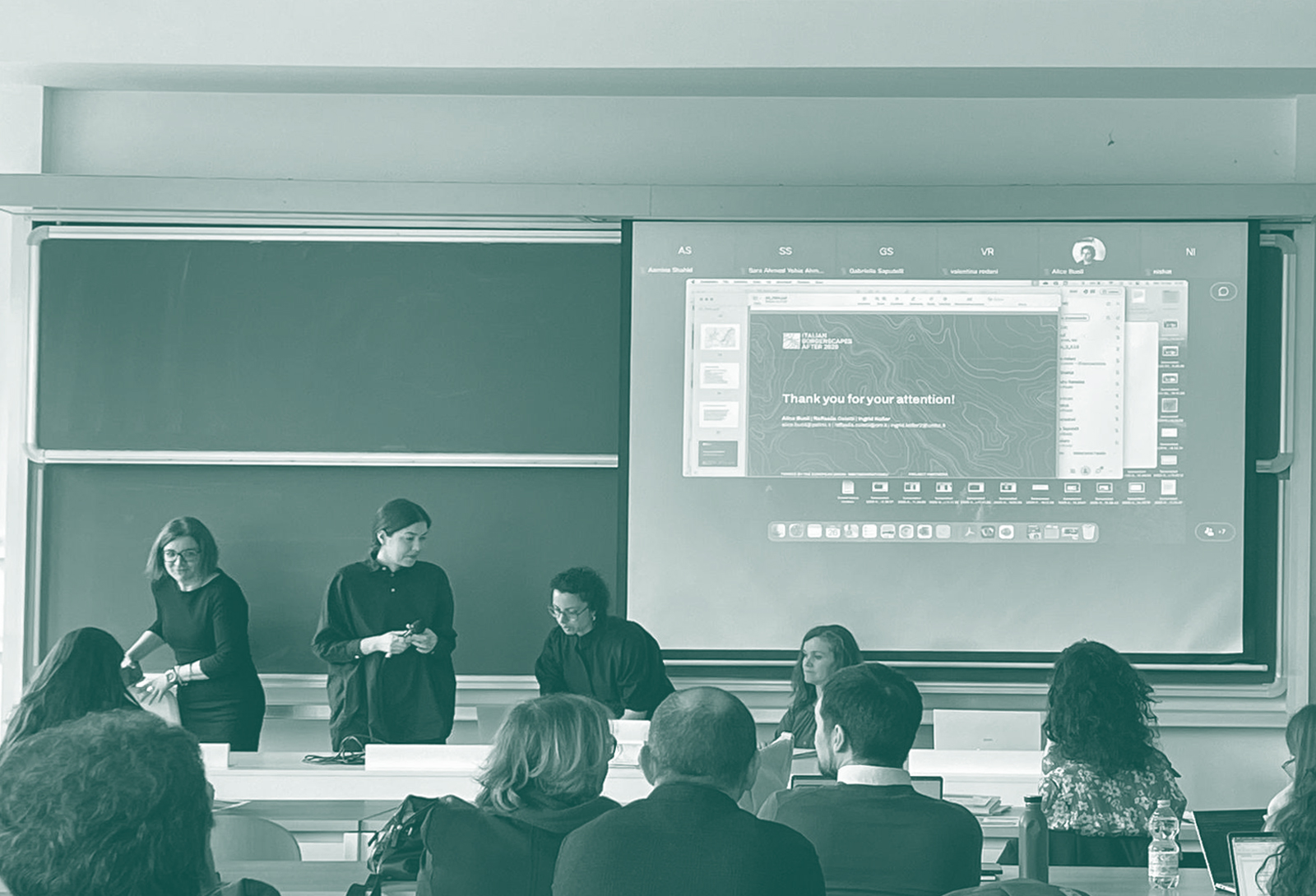
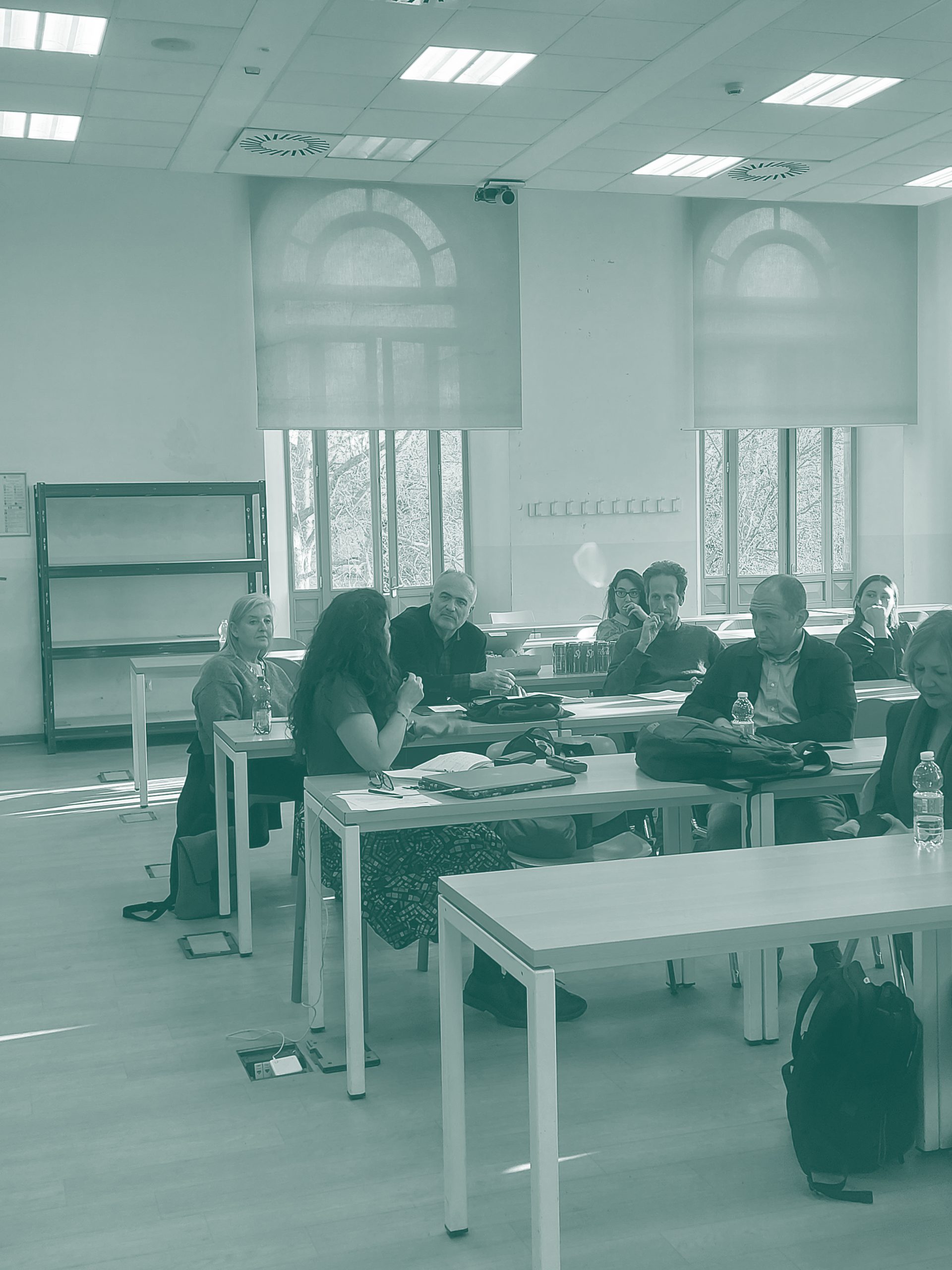
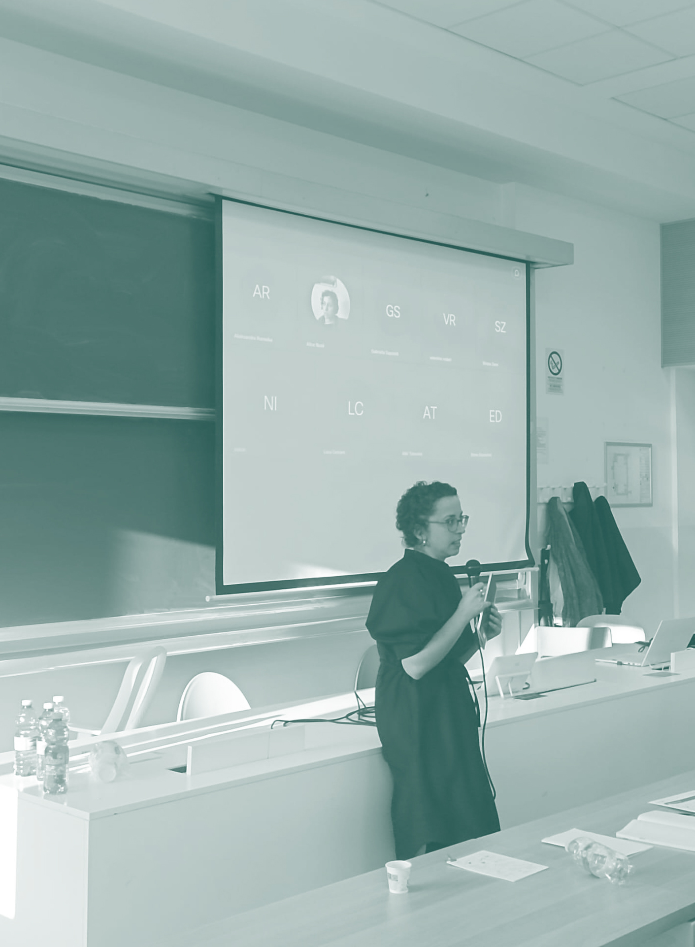
After a midday break, the seminar afternoon session started with the introduction by Alice Buoli (DAStU, Politecnico di Milano), Ingrid Kofler (Free University of Bozen/Bolzano), and Raffaella Coletti (CNR ISSIRFA), the coordinators of the PRIN Project Italian Borderscapes after 2020.
The presentation of the research project aimed at delving into the “thick descriptions” (Geerts, 1973) of the Italo-French, Italo-Austrian and Italo-Slovenian border territories across the polycrisis-resilience nexus. The (quasi) atlas in the making highlights the transcalar, cross-temporal, multi-dimensional and kaleidoscopic mapping (and re-mapping) actions, in-between critical and operative carthographic approaches.
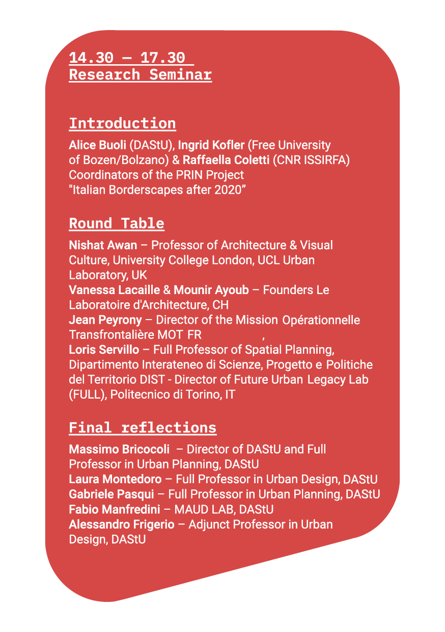
Round Table: Between Critical & Operative Approaches
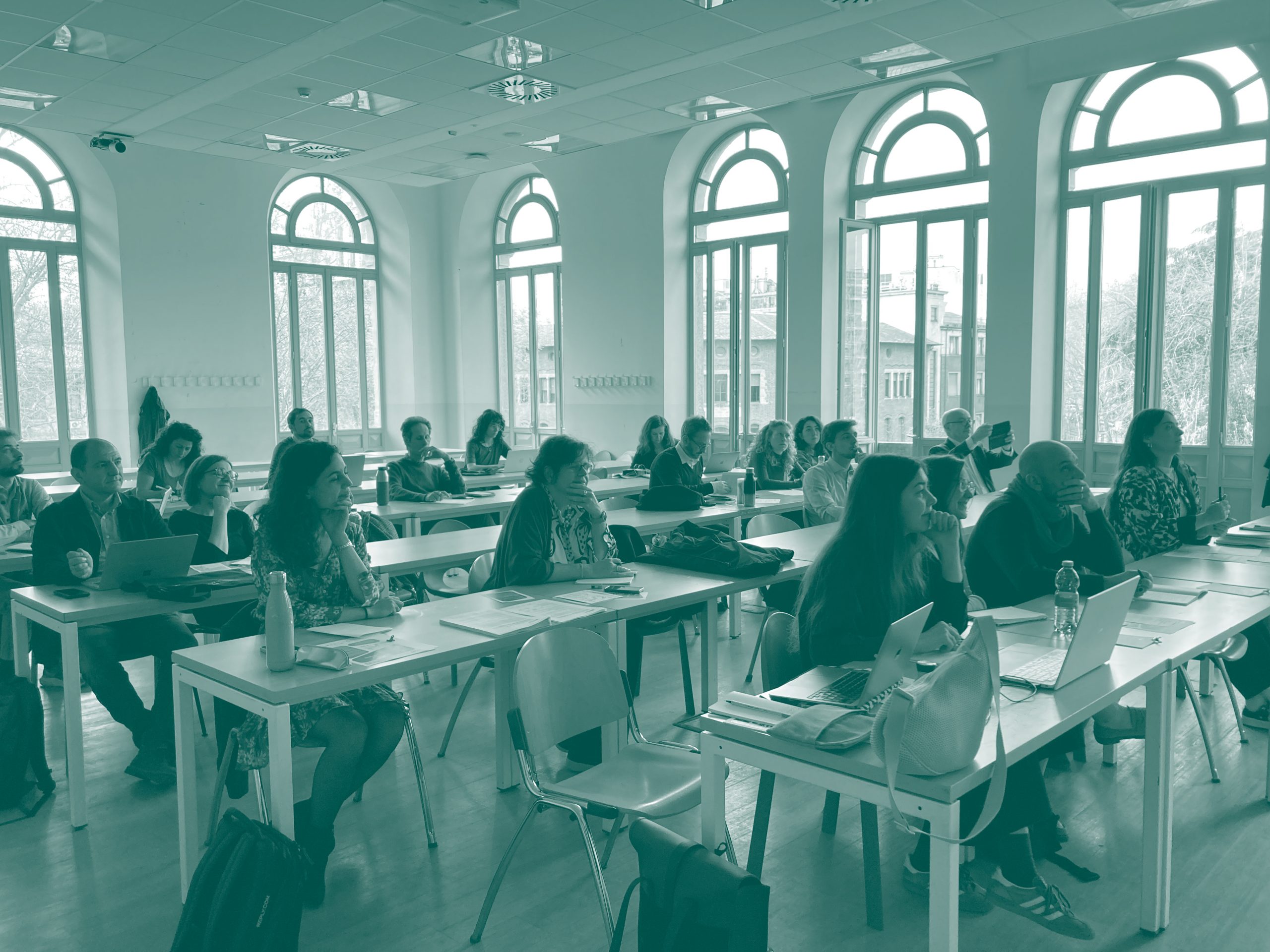
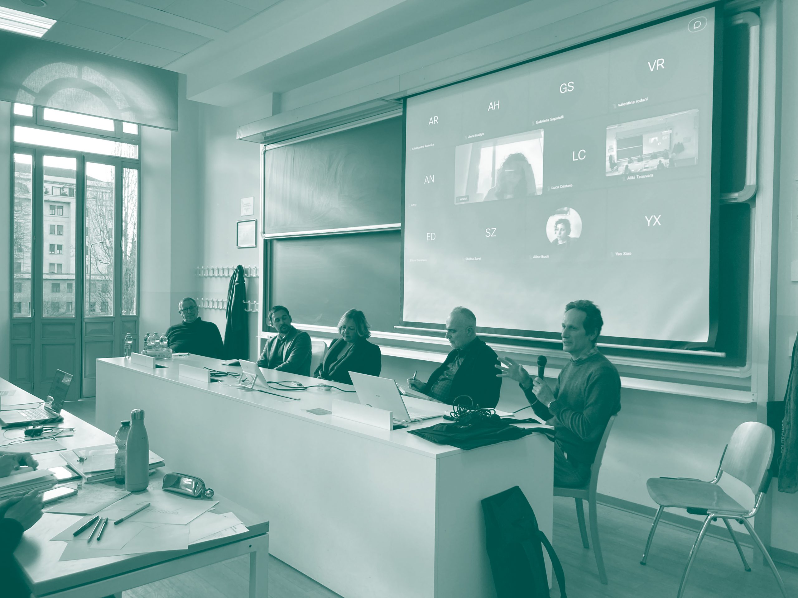
The core of the afternoon session featured a dynamic round table, hosting cross-sectoral contributions from international experts from various disciplines (political geography, cartography, architecture among others).
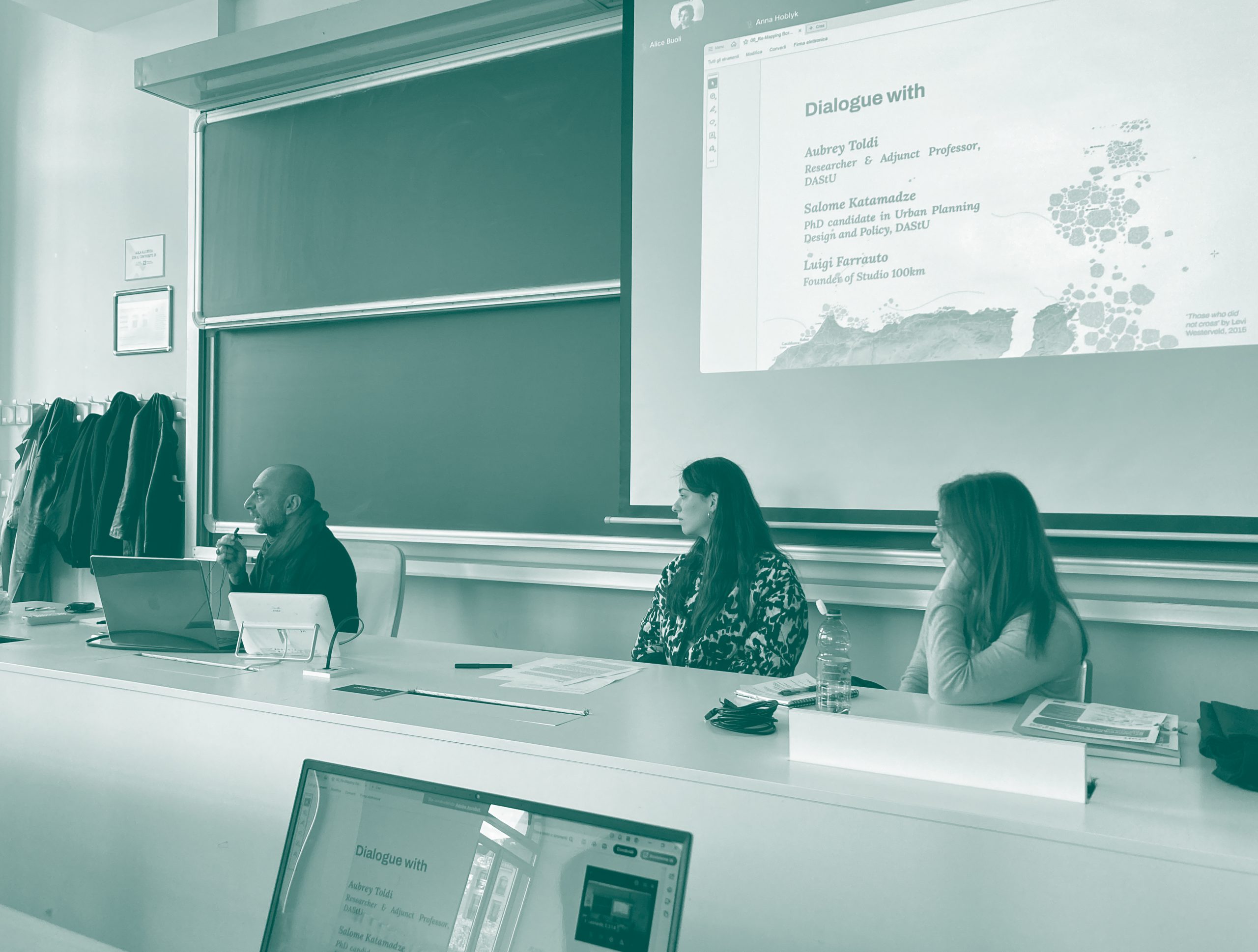
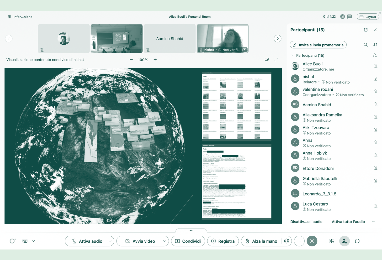
Nishat Awan (Professor of Architecture & Visual Culture at University College London, UCL Urban Laboratory UK) presented her ERC research project Topological Atlas, navigating the visual counter-geographies of borders through the experience of the undocumented.
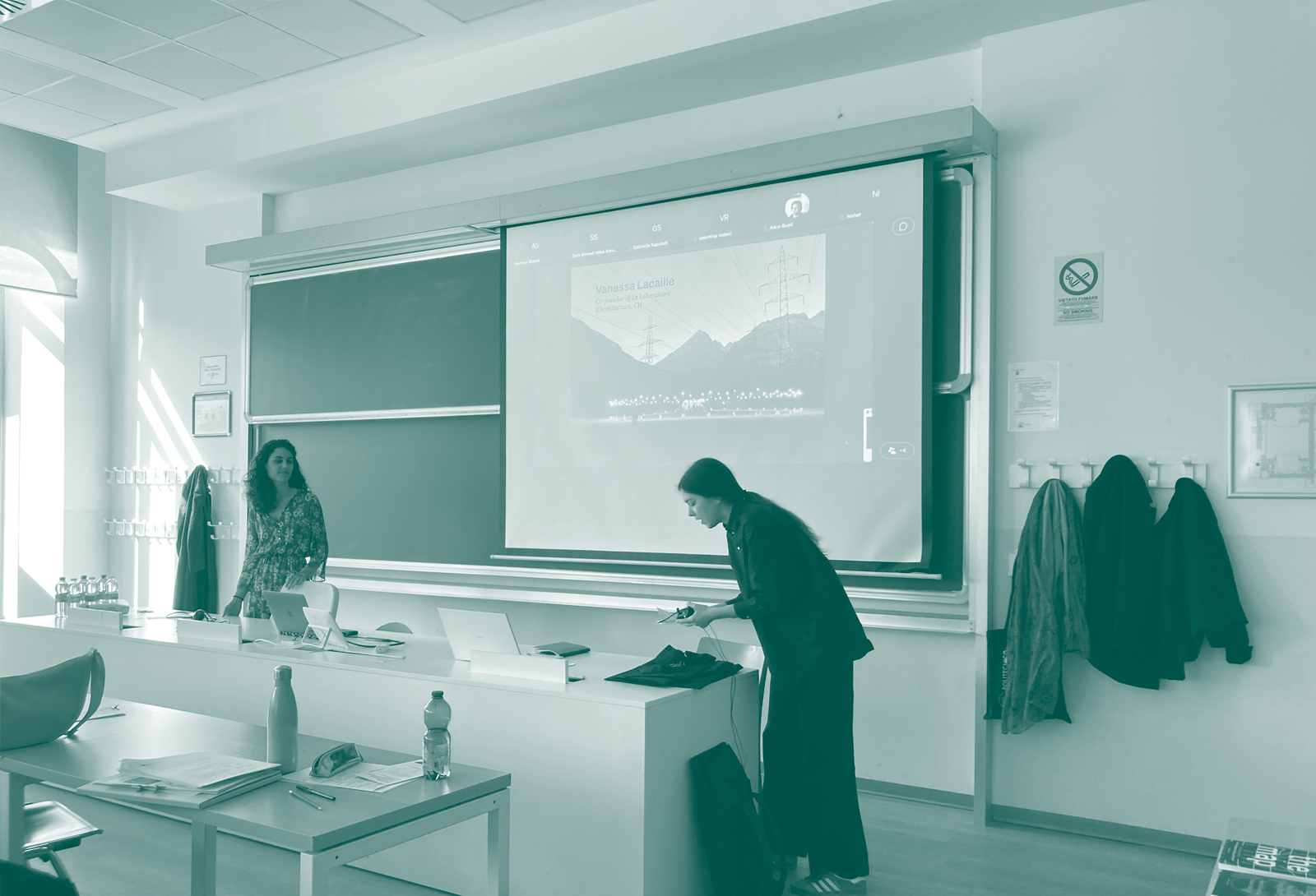
Vanessa Lacaille & Mounir Ayoub (founders of Le Laboratoire d’Architecture, CH) shared their cutting-edge research oræ – Experiences on the Border (Switzerland Pavillon, Venice Biennale 2021) and the further research trajectories in Tunisia, Welcome in Nomadland (Dangerous Liasons, Venice Biennale 2023) and Bled el Abar.
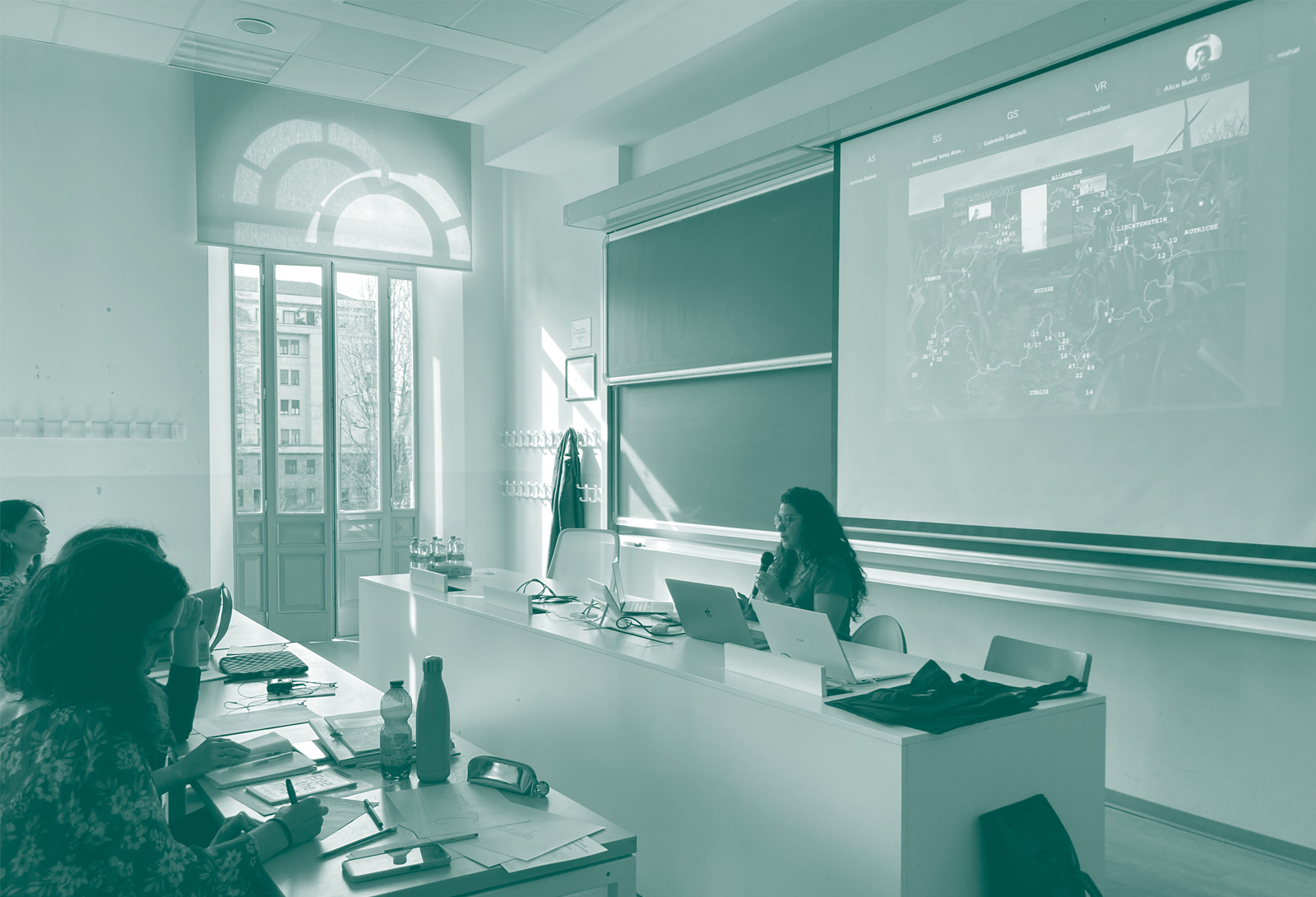
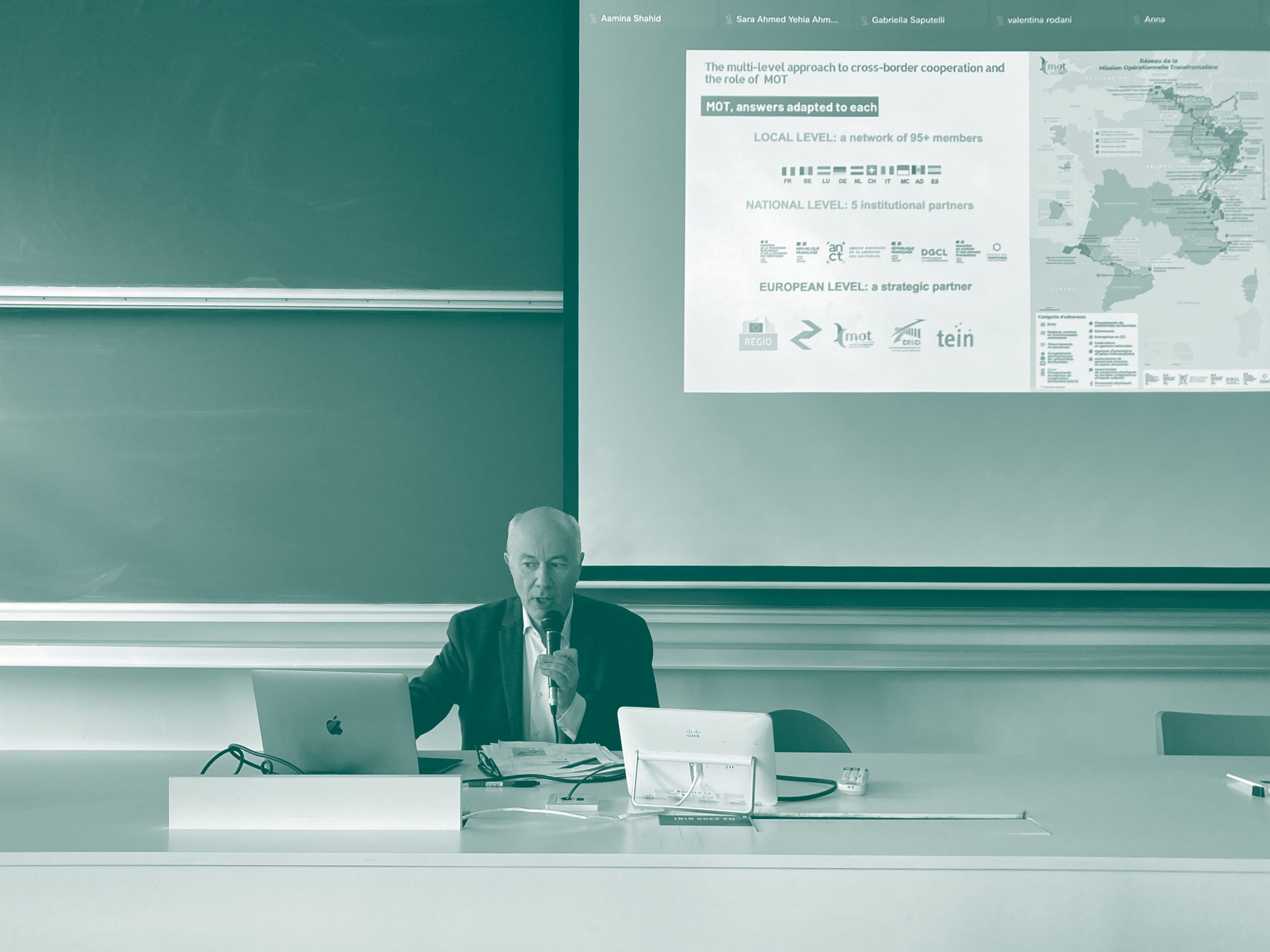
Enriching the dialogue across cartographic perspectives and approaches, Jean Peyrony (Director of the Mission Opérationnelle Transfrontalière MOT, FR), offered inspiring insights on how map-making practices and techniques can support policy and decision-making processes in cross-border governance and cooperation.
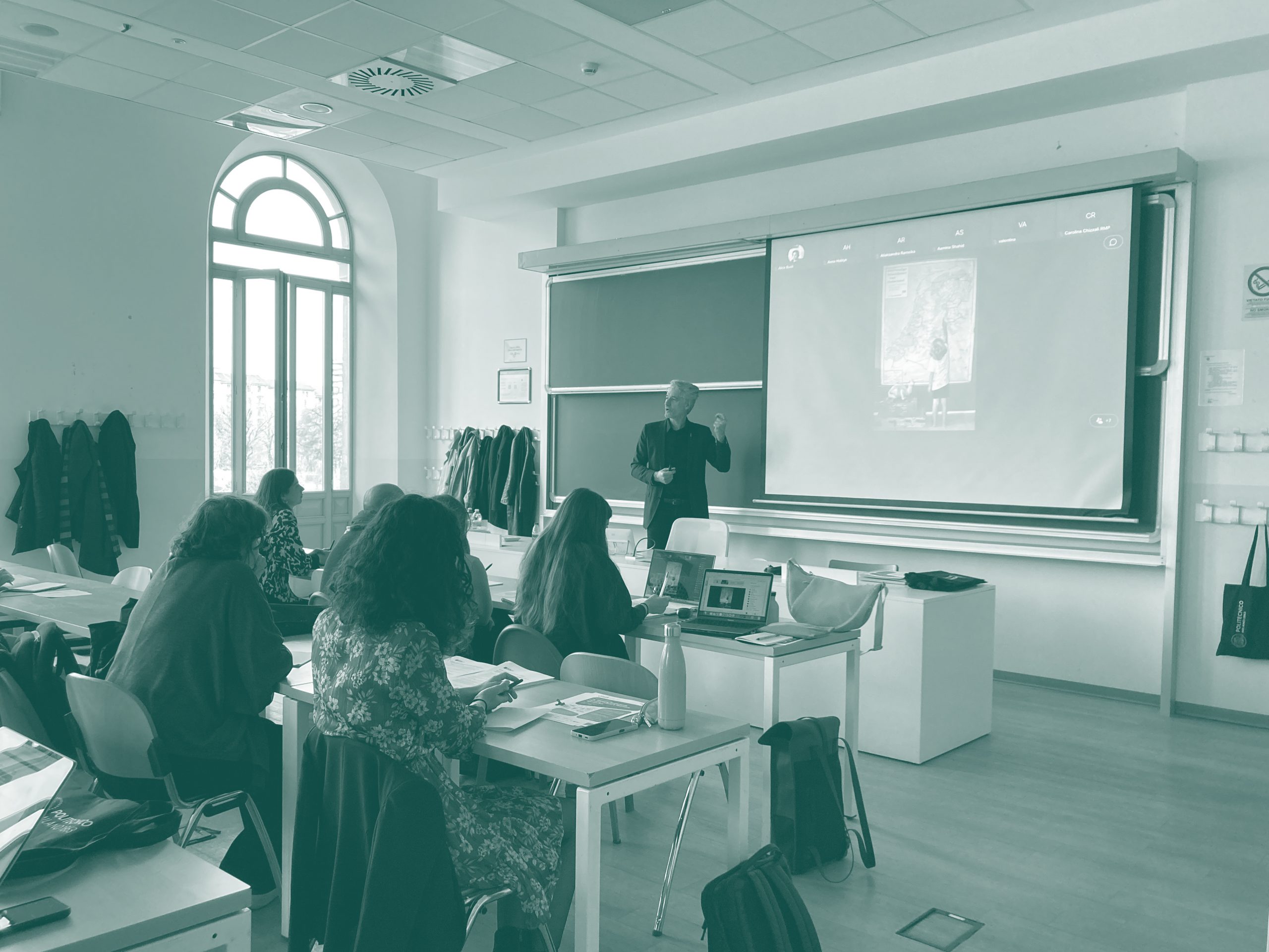
Finally, Loris Servillo (Full Professor of Spatial Planning at Politecnico di Torino and Director of Future Urban Legacy Lab, FULL) deepened and expanded the dialogue by focusing on the marginality of the Alpine region. He reclaimed mapping as a tool to construct spatial and political space for action in these territories, able to reveal invisible geographies and socio-spatial disparities and fragilities.
Final Reflections
These diverse contributions fostered a critical dialogue across various cartographic practices, emphasizing the role of maps as powerful tools for knowledge production and drivers of territorial transformation. By fostering a dialogue between critical and operative cartographic practices, the seminar engaged the participants – including students, young researchers, professionals, and local actors – in a discussion about the role of maps as knowledge producers able to guide transformative interventions in border territories.
The seminar concluded with final reflections from esteemed DAStU faculty members: Massimo Bricocoli (Director of DAStU, Politecnico di Milano), Laura Montedoro (Full Professor in Urban Design, DAStU), Gabriele Pasqui (Full Professor in Urban Planning, DAStU), Fabio Manfredini (MAUD LAB, DAStU), and Alessandro Frigerio (Adjunct Professor in Urban Design, DAStU). Their concluding thoughts undoubtedly synthesize the day’s discussions, offering a holistic perspective on the complex interplay between maps, power, and action in border areas and beyond.
Many thanks to all the guests and participants for this intense and thought-provoking day of learning, dialogue and exchange!
The event was co-funded by DAStU-Polimi’s CRAFT, the Competence Center on Anti-Fragile Territories, and is curated by Alice Buoli, Isabella Traeger & Valentina Rodani (DAStU, Polimi).
This seminar is part of the research project funded by the EU – Next Generation EU – PRIN 2022 Call for proposals – D.D. No. 104, February 2, 2022 – M4 C2 Inv.1.1 Prot. No. 20225TN2R9 – Project title: “Italian Borderscapes after 2020. Mapping, Unfolding, and Re-Framing Border Territories in Response to the Covid-19 Pandemic” – CUP: D53D23010950006.


